Article by Jeremy Lemon, DPIRD Albany
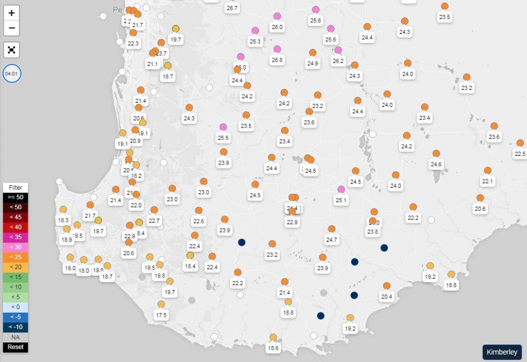
A further five DPIRD weather stations have been installed in the Albany Port Zone. The new stations complement the existing network and add to calibration of the Doplar radar system which can be used to estimate rainfall between physical weather stations
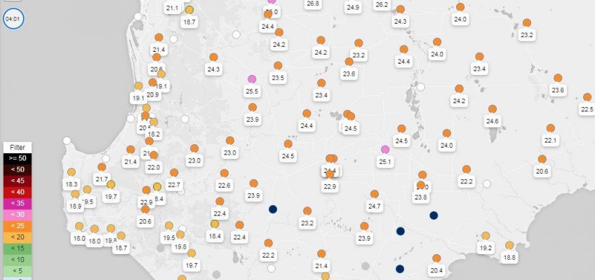
The new locations appear as dark blue dots on the DPIRD weather stations map shown below in Figure 1. New locations are east of Narrikup, Kojaneerup South, Cowalellup, Amelup and south of Jingalup. Bureau of Meterology station data is also available from the white dots in the DPIRD interface.
Current and historical data can be viewed on the DPIRD website in the DAFWA weather stations page https://weather.agric.wa.gov.au/
The DAFWA weather stations app is another way to view DPIRD weather data with your selection of favourite stations close to home. It is available from either the AppStore or Google play. See the link to DPIRD website https://www.agric.wa.gov.au/apps/weather-stations-app for more information on the app.
The standard data and some derivatives are uploaded every 5 minutes. You can also find historic data and summaries for each location. There are too many features to list here, learn by exploring the menus.


